Updated: June 12, 2024 - 09:44 CEST
In addition to hundreds of sky surveys, Aladin Desktop and Aladin Lite also provide access to HiPS surveys for planetary science, as can be seen in the Aladin Lite planets explorer.
You can explore solar system bodies in Aladin Desktop since v12, or browse the full list of available planetary maps.
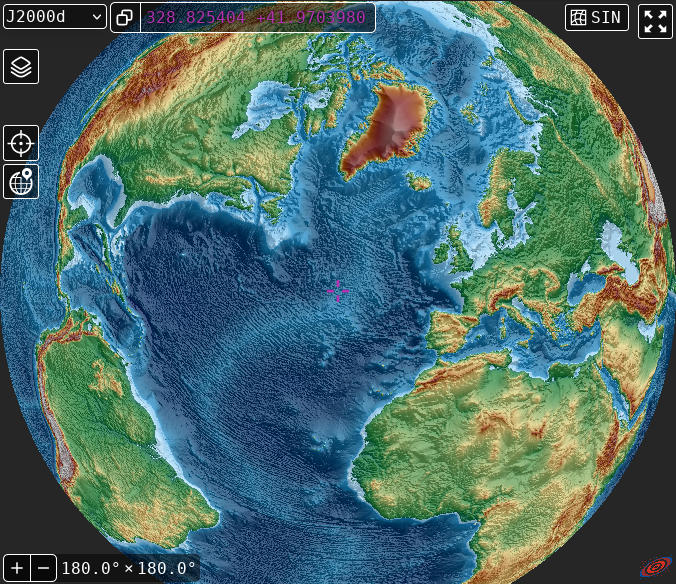
This is even true for our blue planet : Earth maps can be turned into HiPS format, and you can explore them with Aladin. Thomas Boch recently created a new HiPS combining Earth elevation data with hillshading.
You can even use the pointer tool  on this HiPS in Aladin Lite combined Earth elevation and hillshading HiPS to click on Earth and get OpenStreetMap information on local features.
Try it yourself :
Acknowledgements:
- Earth elevation : Jonathan de Ferranti - GEBCO
- Hillshading map computed from EarthPy hillshade function, using the default values of azimuth=30 deg, altitude=30 deg.
CDS work toward enabling data access and visualisation of planetary sufrace data has been partly supported by the Europlanet 2024 RI project. Europlanet 2024 RI has received funding from the European Union’s Horizon 2020 research and innovation programme under grant agreement No 871149.